← Baroque Mughals and Companies
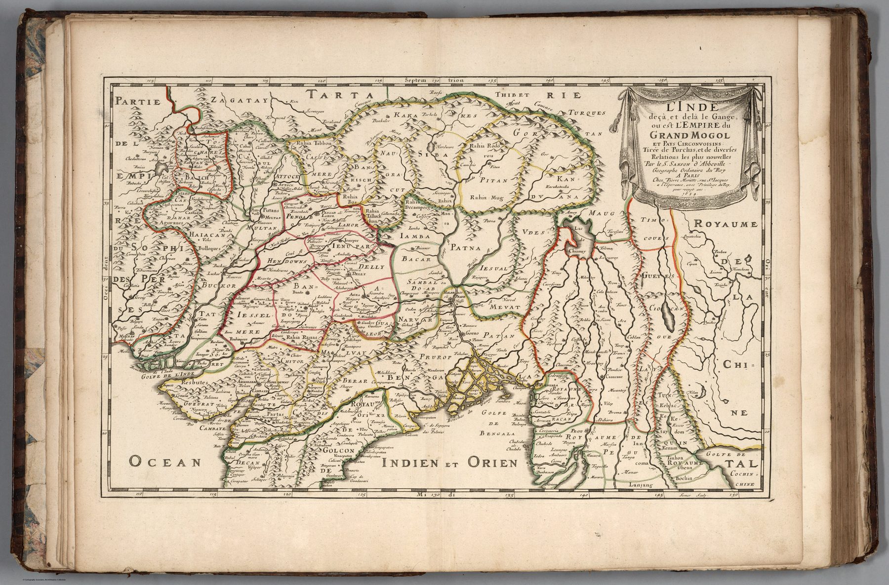
India below and beyond the Ganges, or the Empire of the Great Mogul
The French school
Nicolas Sanson, geographer to the French crown, helped establish the restrained style associated with seventeenth-century French cartography. Compared with many Dutch atlas sheets, the emphasis falls less on pictorial abundance and more on hierarchy, names and political division.
Two organising systems
The title preserves the Ptolemaic distinction between India on this side and beyond the Ganges. At the same time, it identifies the region with the Empire of the Great Mogul. Ancient spatial vocabulary and contemporary dynastic power occupy the same frame.
A political India seen from Paris
The Mughal Empire gives European readers a single intelligible centre around which the subcontinent can be organised. Yet the map remains a work of distant compilation. It translates a complex and internally differentiated political landscape into the categories of European court geography.
The gaze
India is no longer chiefly the destination of a sea route. It becomes a great empire comparable to other monarchies in a universal political geography. The gaze is dynastic and classificatory: a realm to be named, bounded and placed within an ordered world of states.