← Baroque Mughals and Companies
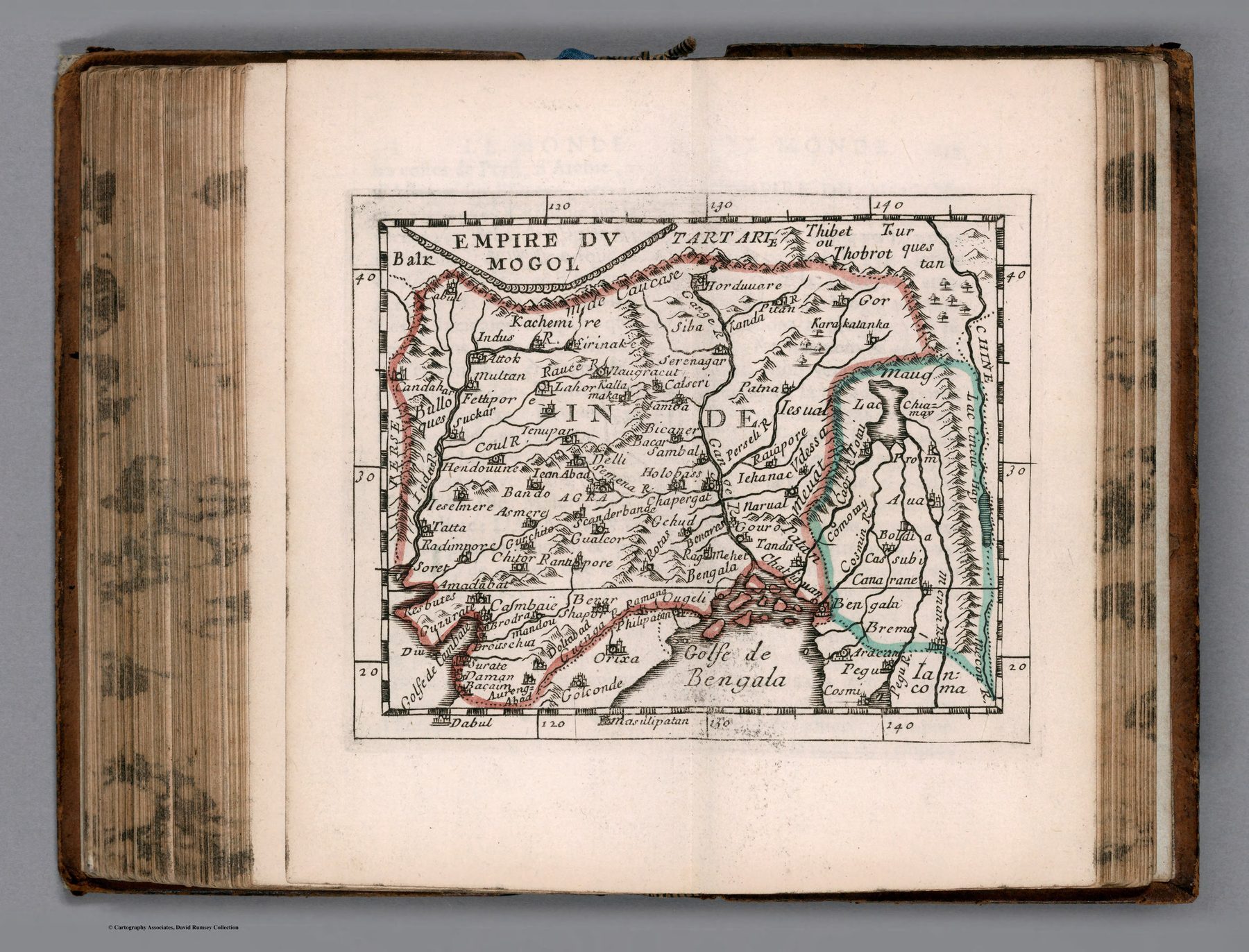
Empire du Mogol
A map in miniature
Pierre Du Val, Sanson’s nephew and pupil, produced compact geographical works that circulated through repeated editions. At approximately one to thirty-one million, this sheet cannot offer detailed local geography. Its purpose is synoptic: the Mughal realm made immediately legible.
The Sanson inheritance
The map carries forward the French school’s preference for clear political organisation and limited ornament. It is not an independent survey of India but a smaller derivative within a recognised cartographic lineage.
The Great Mogul as shorthand
By the late seventeenth century, ‘Empire du Mogol’ had become a standard European label through which the subcontinent could be introduced in general geography. The name supplied coherence even though Mughal authority varied across regions and the map’s boundaries should not be read as modern surveyed borders.
The gaze
The reduction is the point. India becomes one compact entry among the world’s empires, suitable for consultation at a glance. Complex territory is converted into a stable dynastic unit for the distant reader.