 Click to enlarge
Calecut Nuova Tavola
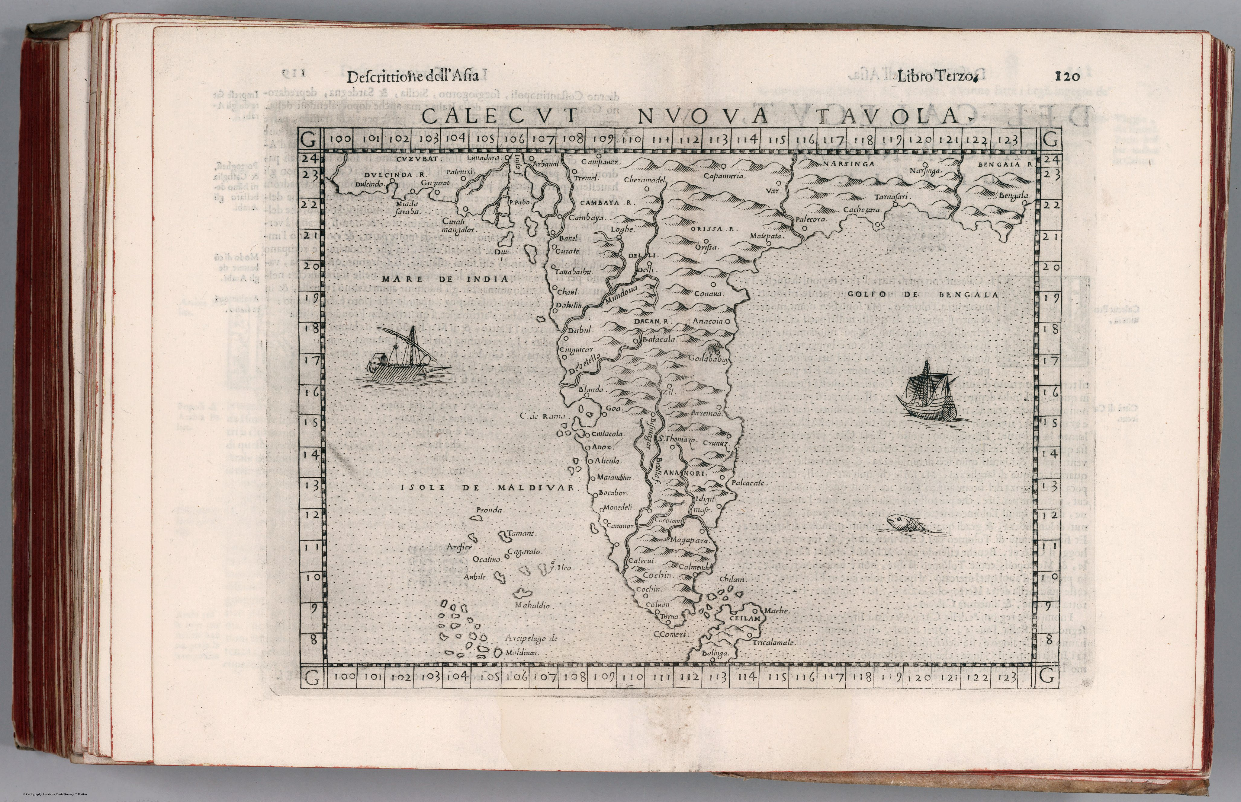
A "new table" of the Calicut coast of south-west India from Girolamo Ruscelli's Italian edition of Ptolemy's Geographia, revised by Giuseppe Rosaccio (Venice, 1599). It is a modern map bound beside the ancient text — the Renaissance practice of correcting Ptolemy with contemporary knowledge made literal.
Authorship and object
Ruscelli (c. 1504–1566), a Venetian editor, translated Ptolemy from the Greek and supplemented the ancient maps with "modern" ones. This is the fourth edition of his Ptolemy, enlarged by Rosaccio and printed by the heirs of Melchior Sessa; copperplate engraving with relief shown pictorially.
Ancient frame, modern content
Ruscelli's modern maps lean heavily on Giacomo Gastaldi's influential mapping of 1548, re-engraved on a larger plate. As a nuova tavola — a "new table" set against Ptolemy's classical ones — the Calicut sheet embodies the central tension of Renaissance cartography: the authority of the ancients retained, but visibly amended by what Portuguese voyaging had since revealed of the Malabar coast.
The gaze
India here is the Calicut of the pepper trade — the landfall of Vasco da Gama a century earlier, and still Europe's primary mental image of the subcontinent. The map literally binds new knowledge into the old book: a worldview updating itself without yet abandoning its classical scaffolding.