← Home Ground Bombay and Deccan
 Click to enlarge
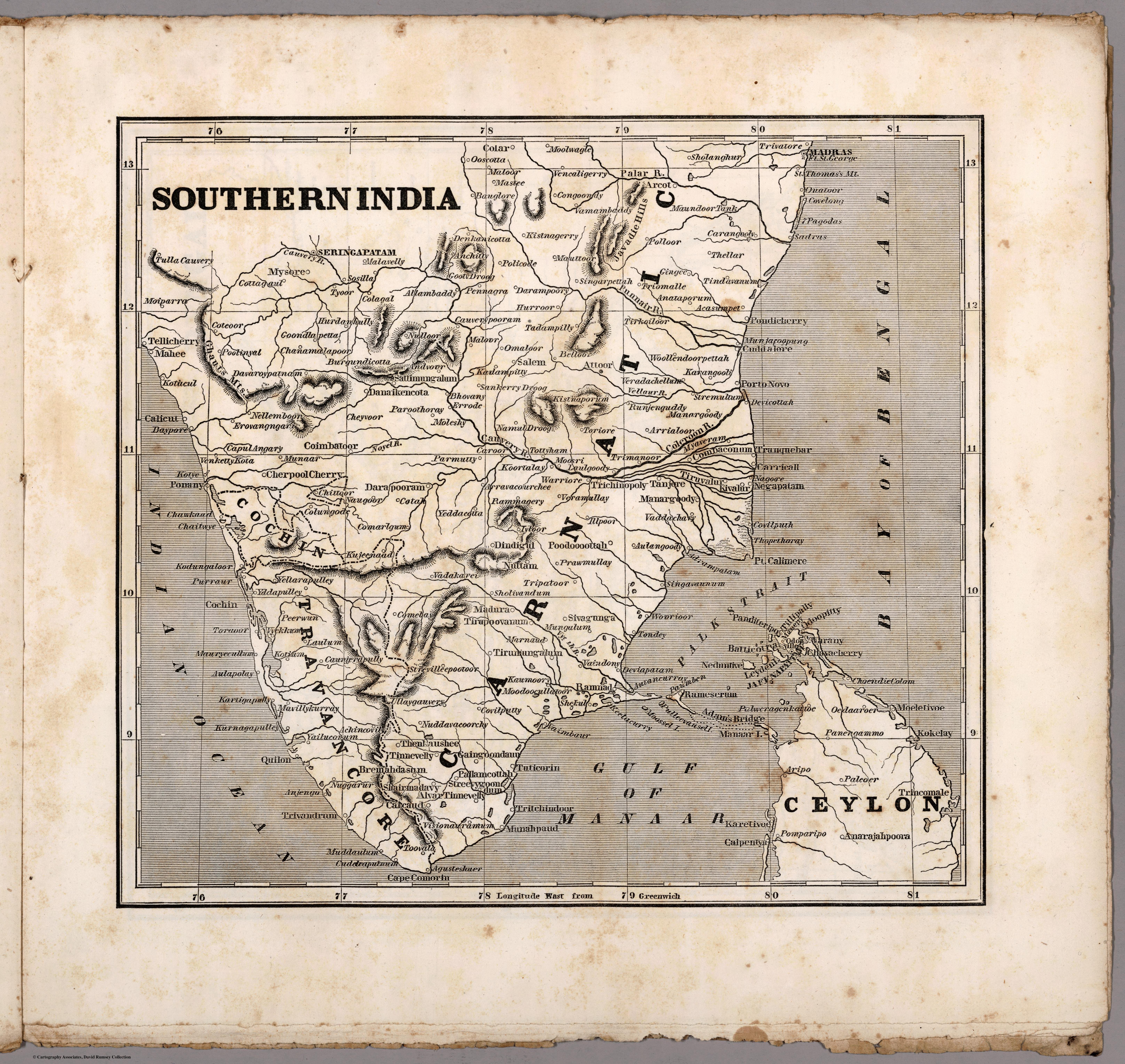
Southern India
A map of southern India from Sidney Morse's Cerographic Missionary Atlas, an American atlas charting the world's fields of Protestant mission. India seen, from New York, as a territory of souls to be reached.
Authorship and object
Sidney E. Morse (1794–1871), son of the geographer Jedidiah Morse and co-inventor of cerography (a cheap wax-engraving process), produced this uncoloured map for the Cerographic Missionary Atlas (New York, 1848), distributed gratis to subscribers of the New York Observer. Relief by hachures, prime meridian Greenwich.
A map of the mission field
The atlas set out to show where missionary activity was under way across the globe — from the American Indian Territory to Hawaii to India. Southern India appears here not as a possession or a market but as a field of evangelism, mapped for a religious public.
The gaze
This is the missionary gaze, and an American one. India is of interest as a place to be converted — its geography a guide to the distribution of populations and mission stations. It is the same impulse to make the subcontinent legible, redirected from commerce and conquest to the saving of souls.