← Home Ground Bombay and Deccan
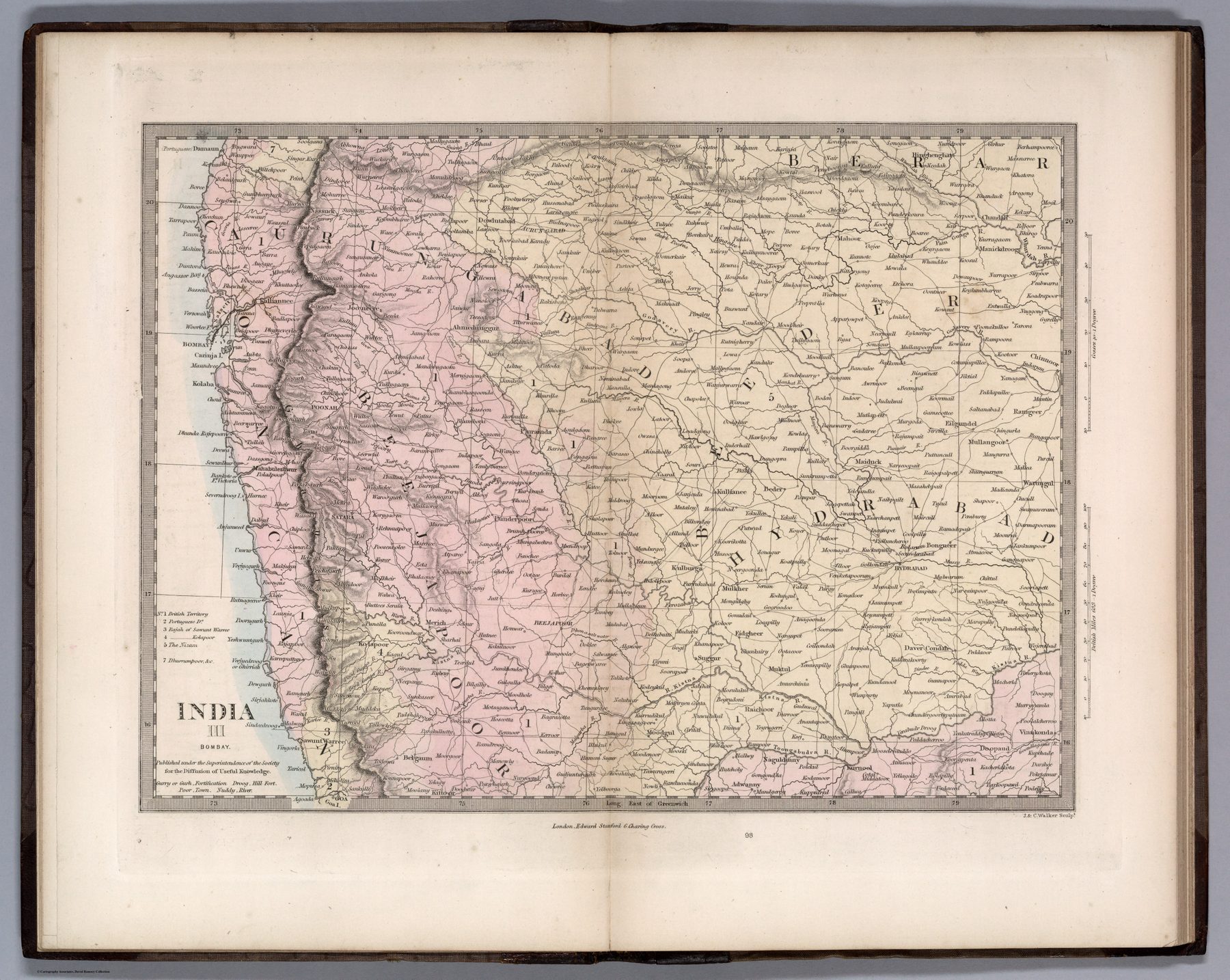
India III: Bombay
The revised atlas
The Society for the Diffusion of Useful Knowledge had issued regional maps of India as part of its programme of inexpensive education. John Walker revised the series, and J. & C. Walker engraved the sheets sold by Edward Stanford in the 1856 atlas. The date therefore identifies this revised issue, not necessarily the first appearance of every underlying plate.
A presidency at regional scale
The map isolates Bombay as one numbered component of a larger sheet system. Administrative boundaries, settlements, routes and hachured relief make the presidency intelligible without the ornament of the Tallis maps or the scale of a military case map.
Useful knowledge and empire
The SDUK’s educational mission was liberal and public-minded, but the knowledge it diffused was also the geography of British rule. Breaking India into numbered regional sheets naturalised the presidency and province as the basic units through which the country was to be known.
The gaze
Bombay becomes an object of disciplined public instruction: clearly bounded, accurately engraved and placed within a serial atlas. The administrative map enters the ordinary reader’s mental furniture.