← Administered Empire and Victorian Atlas
 Click to enlarge
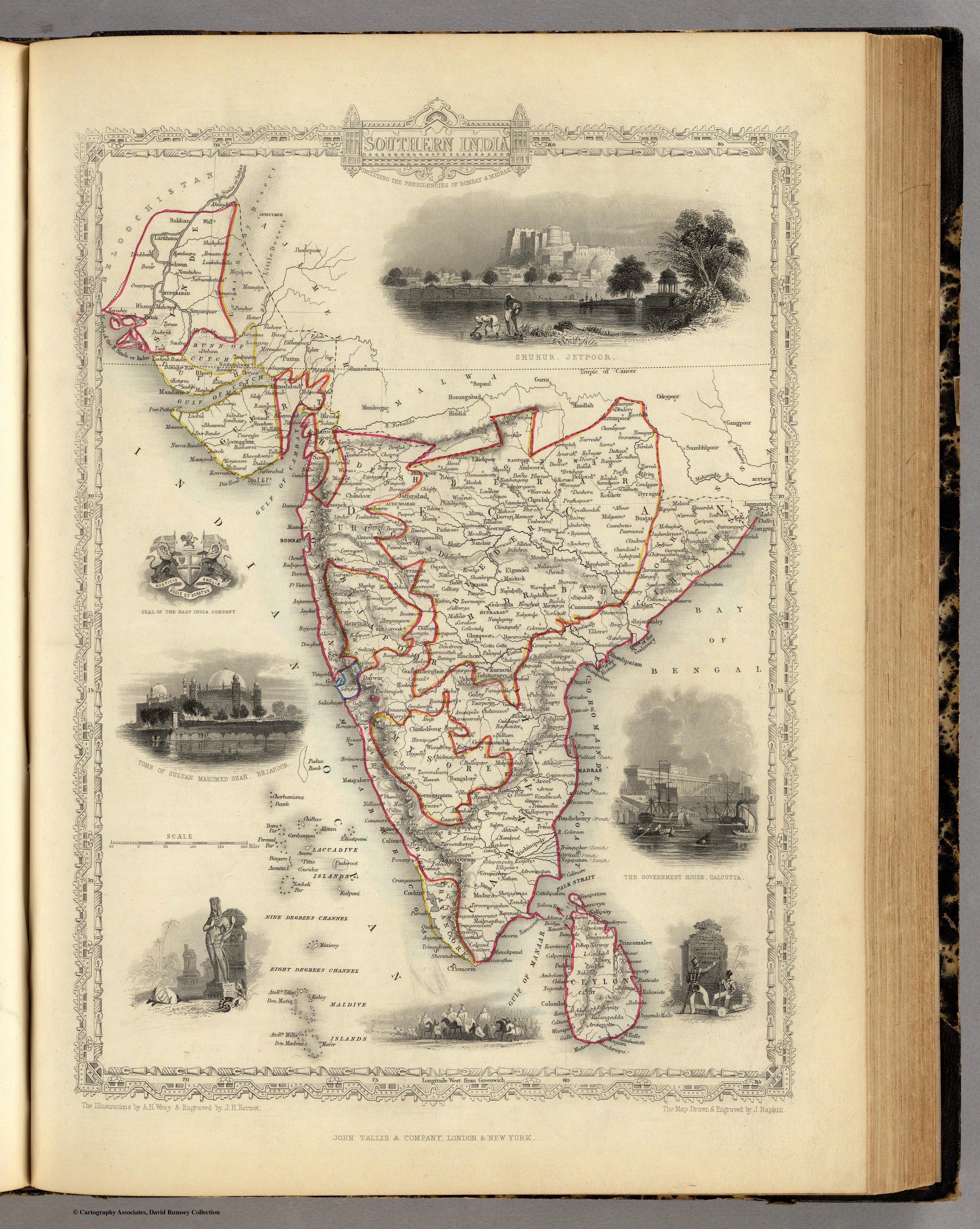
Southern India Including The Presidencies Of Bombay & Madras
Tallis's decorative map of southern India — the Bombay and Madras Presidencies — set within an architectural border of Indian views and crowned with the seal of the East India Company. The administered presidencies presented as ornament and possession at once.
Authorship and object
From the same Tallis Illustrated Atlas (R. M. Martin, ed.; map by John Rapkin, vignettes by A. H. Wray, engraved by J. H. Kernot, c.1851). Outline colour, the map enclosed in an engraved architectural frame of local scenes, with the East India Company's seal displayed.
Decoration in the service of empire
The Tallis house style wrapped each map in picturesque vignettes; here they illustrate the southern Presidencies as administrative realities — Bombay and Madras named as units of British India, the Company's seal asserting whose possession this is.
The gaze
This is the mid-Victorian popular atlas at its most characteristic: India as an attractive, governed possession, its presidencies labelled and its sights displayed for the armchair reader. Administration and spectacle combine — the empire both catalogued and admired.