← Home Ground Bombay and Deccan
 Click to enlarge
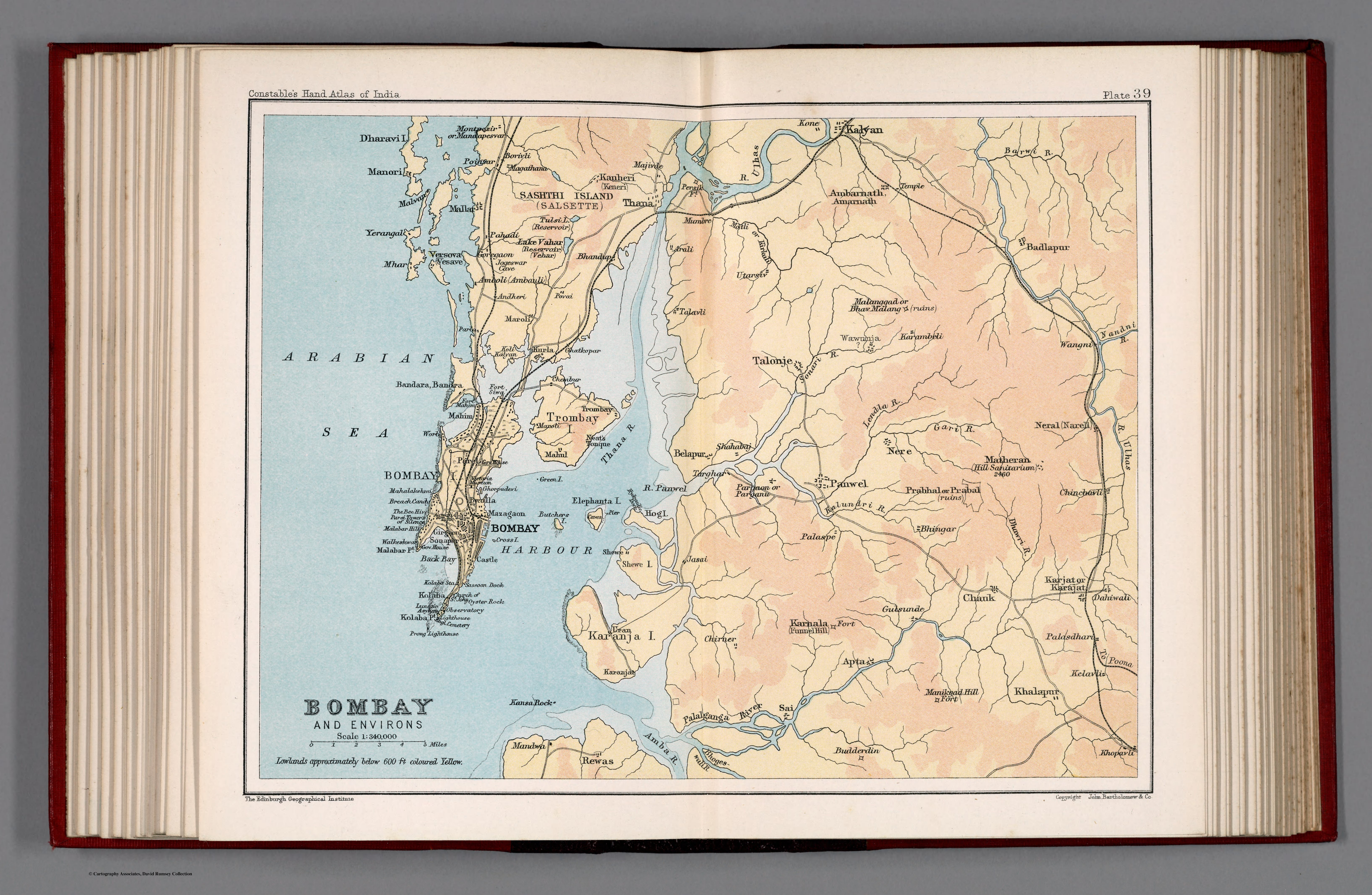
Bombay and environs. Plate 39
A layer-coloured map of Bombay and its hinterland from Constable's Hand Atlas of India — the imperial port city and the country around it, rendered with elevation tinting from the Ordnance surveys.
Authorship and object
Plate 39 of Constable's Hand Atlas of India (Bartholomew / Edinburgh Geographical Institute, London, 1893), at about 1:340,000. Lowland below roughly 600 feet is tinted yellow — an early use of layer-colouring to show relief by elevation — with towns, roads, railways and canals.
The city in its setting
At this larger scale Bombay appears with its environs: the island city, its rail and road links, the harbour and the surrounding terrain graded by height. It is the metropolis of western India shown as a working hub of communications and commerce.
The gaze
By 1893 Bombay was one of the great cities of the empire, and the map treats it as such — a node of railways, port and trade, its setting analysed by modern thematic technique. The gaze has come right down to the city and its approaches: the subcontinent's western gateway mapped as infrastructure.