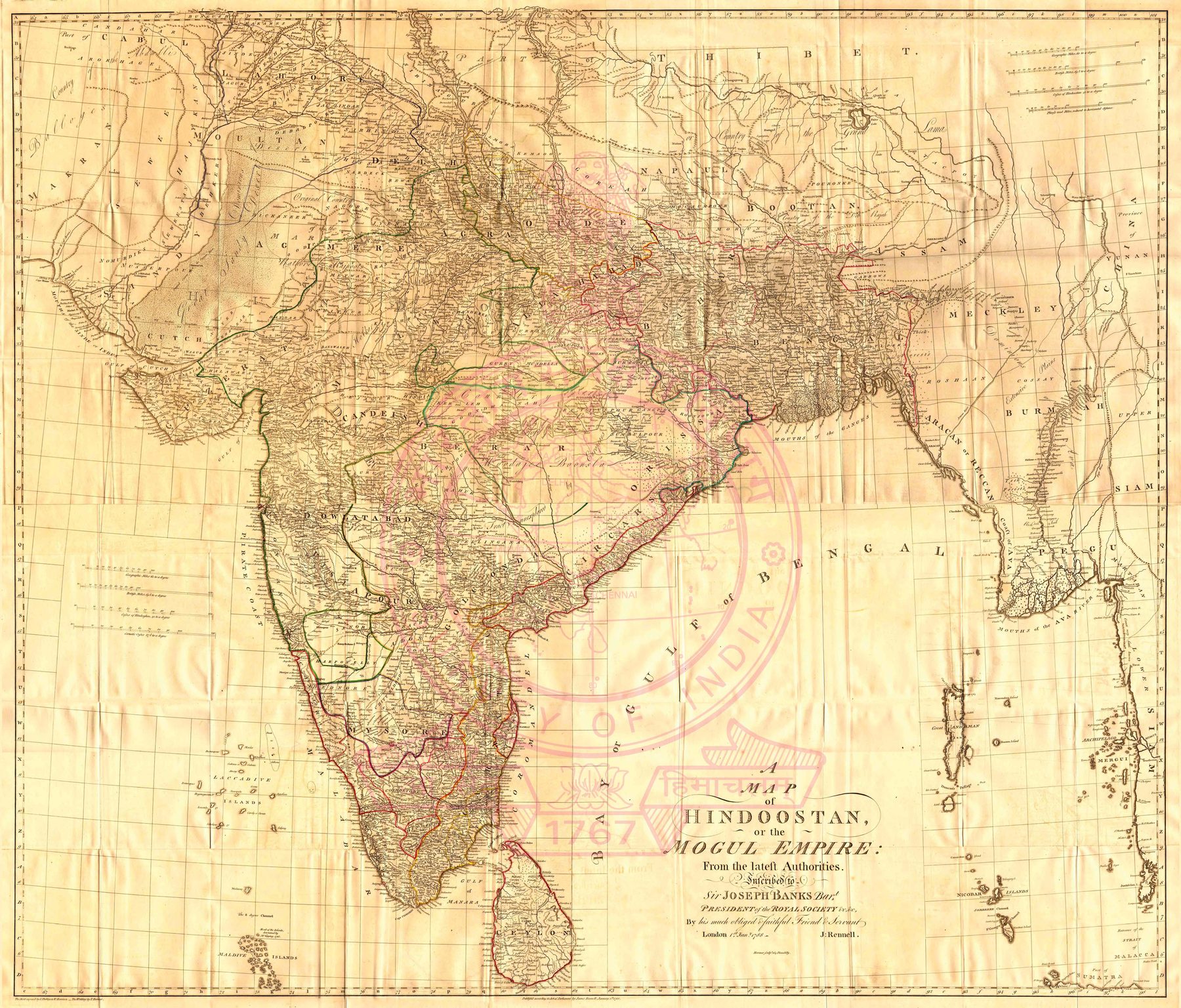
A Map of Hindoostan or the Mogul Empire
The enlarged Hindoostan
This is the four-sheet map accompanying the 1788 edition of Rennell’s Memoir of a Map of Hindoostan; or, the Mogul Empire. At roughly 1:2,980,000, it is substantially larger and more detailed than the two-sheet map dated 1782. Roads, river systems, provinces and named settlements are spread across a surface designed to be read both as geography and as an index to the accompanying written argument.
Revision as method
Rennell’s map was not a single definitive revelation. It was revised through successive editions as new routes, positions and reports arrived. The four-sheet form makes that process visible: survey knowledge is cumulative, assembled from measurements of uneven quality and continually reconciled into a general picture.
The Mughal name after Mughal power
The title retains ‘the Mogul Empire’ even though effective sovereignty had fragmented among the Company, Maratha powers, Mysore, the successor states and numerous principalities. The inherited political label offered European readers a familiar frame, while the map itself increasingly registered the new territorial order created by eighteenth-century war and Company expansion.
The gaze
The survey has become an apparatus of generalisation. Routes walked by many people, positions observed in particular places and intelligence gathered through local intermediaries are resolved into one authoritative field. The map’s calm surface conceals both the unevenness of its evidence and the political work required to make India appear measurable as a whole.