The European Gaze on India 1519–1946 · 1947 epilogue About

← All rooms

Room 07

Last Frontiers

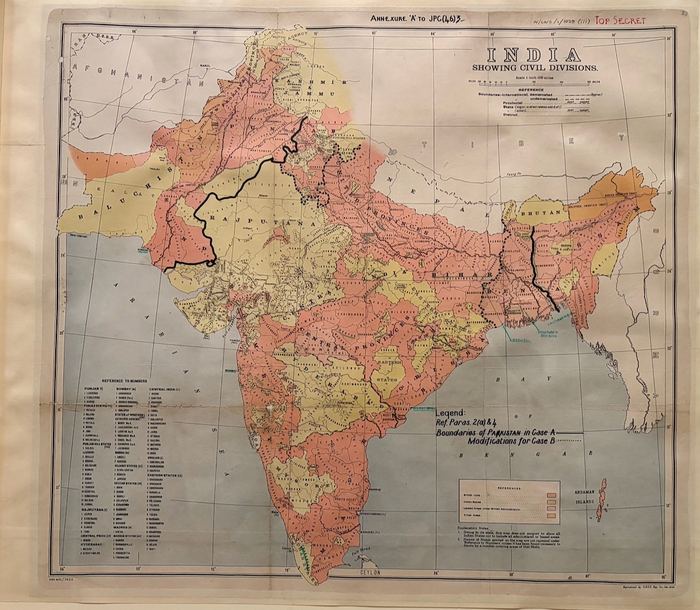
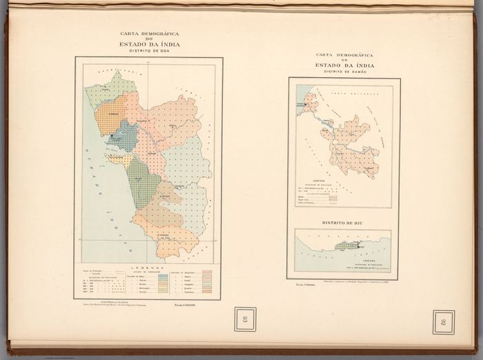
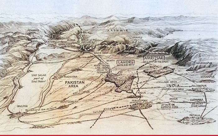
At the end of the collection the European gaze reaches its limits. The remaining maps look toward the strategic frontier, the wartime public and the hurried end of empire: Central Asia as margin, India compressed for a newspaper audience, Portuguese enclaves counted from Lisbon, and alternative partition boundaries examined before the states they would divide had come into being. The 1947 panorama is an epilogue — the imperial boundary-making process after it had become a lived catastrophe on both sides.
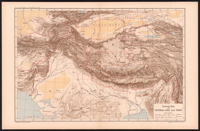
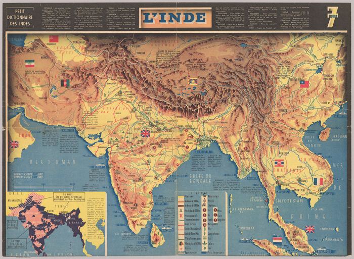
General Map of Central Asia and Tibet General Map of Central Asia and Tibet1922 L’Inde. Jac Mercier. Dessinateur L’Inde. Jac Mercier. Dessinateur1942 India Showing Civil Divisions — Boundaries of Pakistan (Case A / Case B) India Showing Civil Divisions — Boundaries of Pakistan (Case A / Case B)1946 Carta demográfica do Estado da Índia — Distrito de Goa Carta demográfica do Estado da Índia — Distrito de Goa1946 Where Pakistan and India Come Face to Face — the Punjab Where Pakistan and India Come Face to Face — the Punjab1947 · Epilogue